From Your Corner: Okanogan County's name
Image

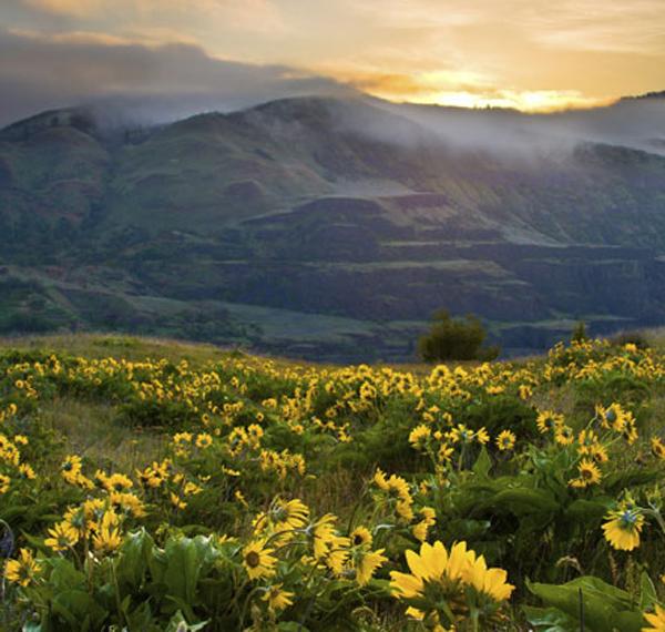
Photo courtesy of Okanogan County Tourism Council
Located along the Canadian border in north-central Washington, Okanogan is the largest county geographically in our state with nearly 5,300 square miles.
The county is home to the picturesque Methow Valley, which includes tourist attraction Winthrop and the popular Sun Mountain Lodge, located above town to the south. The county is also where the scenic North Cascades Highway ventures east after crossing Washington Pass, at 5,477 feet the second-highest pass in the state. Okanogan is also the name of the county’s seat located just south of Omak on Highway 97, as well as the river that flows south from Canada into the Columbia River. Okanogan’s name is derived from an Indian word okanagen, meaning “rendezvous,” and was applied originally to the Okanogan River’s head at Osoyoos Lake where Native tribes from Canada and the U.S. gathered annually to catch and cure fish, to trade, and to hold potlatches. The name gradually was applied to the river and to the tribe that lived along its banks. To learn more about Okanogan County, go here and here.(html)
