Digital Collections

Special Edition! Washington Digital Newspapers website is ready for the oldest & newest news!
From the desk of Shawn Schollmeyer
 The latest
Washington State Library Digital Collections - Historical Maps
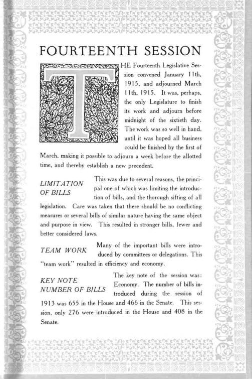
From the desk of Jeff Martin
The State Archives and the State Library hold extensive map collections dealing with the Washington State and the surrounding region. This new blog post shows two more examples. The first map shows military stations occupied and abandoned as of January 1881; railroads existing and projected; wagon roads, and lighthouses.
Historic Fire Lookouts in Washington

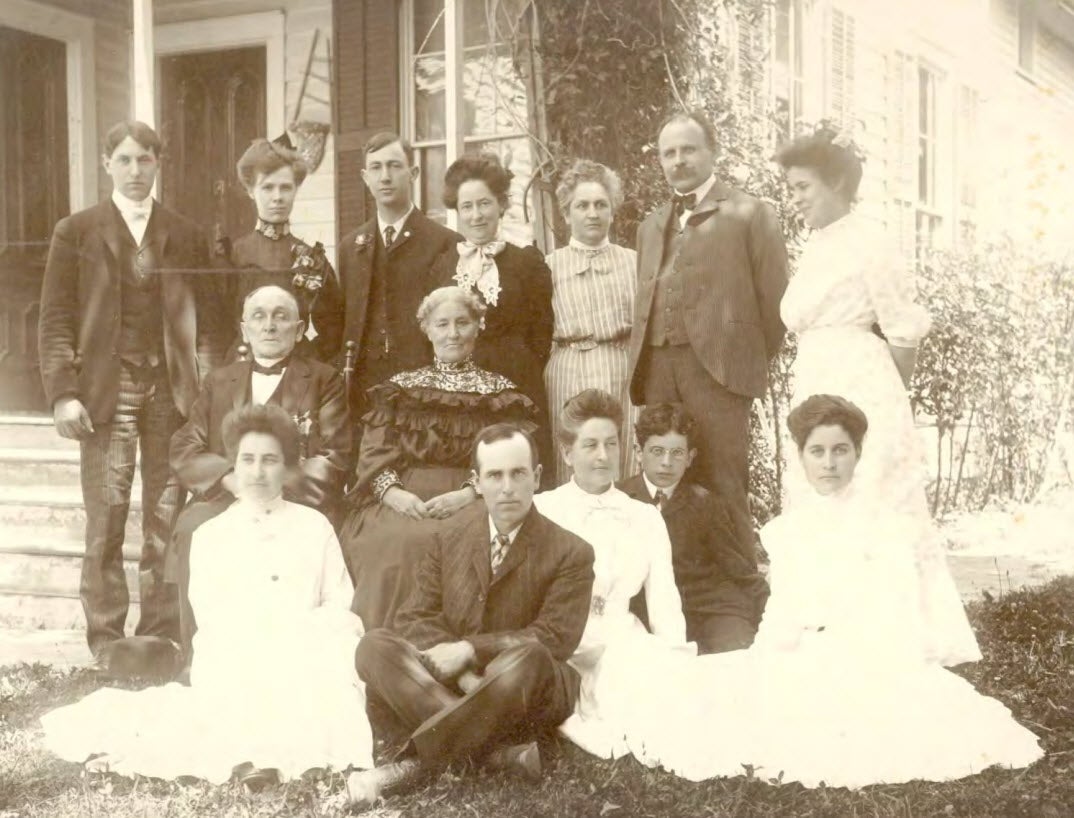
Classics in Washington History- Bigelow Family mementos
From the Desk of Jeff Martin

Listen Up! Stories from the Northwest Corner

Washington State Library Digital Collections: Historical Maps
From the desk of Jeff Martin:
Maps add a visual element to history. The State Archives and the State Library hold extensive map collections dealing with the Washington State and the surrounding region. Maps for these digital collections are drawn from state and territorial government records, historic books, federal documents and the Northwest collection.