
Map Search Results
Presented by the Washington State Library and Washington State Archives
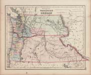
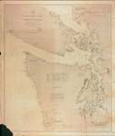
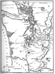
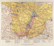
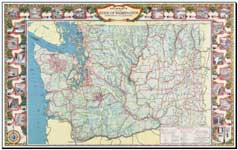
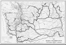
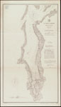
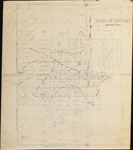
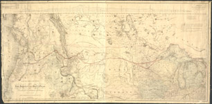
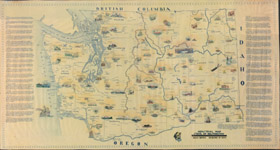
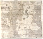
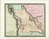
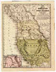
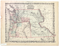
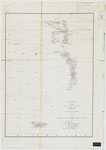
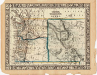
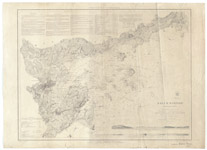
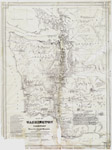
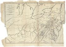
| Description: | Territories of Washington and Oregon |
| Date: | [1857] |
| Size: | 36 x 42 cm |
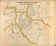
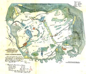
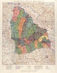
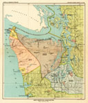
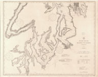
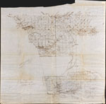
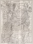
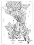
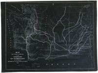
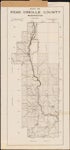
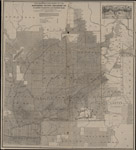
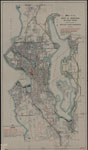
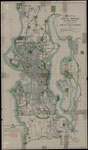
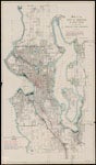
| Description: | Map of the Upper Sound Country comprising parts of the counties of Pierce, Thurston, Kitsap, Mason and King, Washington |
| Date: | [between 1889 and 1900?] |
| Size: | 68 x 83 cm |
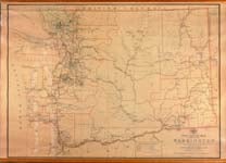
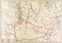
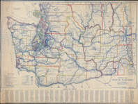
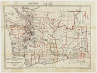
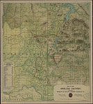
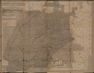
| Description: | Post route map of the State of Washington: showing post offices with the intermediate distances on mail routes in operation on the 1st of September, 1897 |
| Date: | [1897] |
| Size: | 81 x 113 cm |
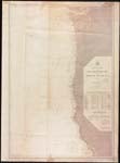
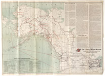
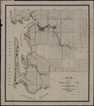
| Description: | Pacific Coast from San Francisco Bay to the Strait of Juan de Fuca |
| Date: | 1888 |
| Size: | 108 x 73 cm |
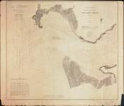
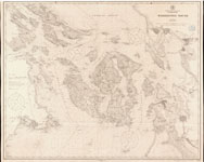
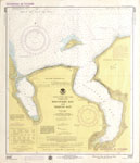
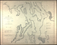
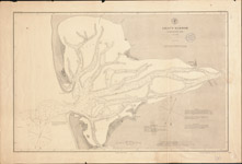
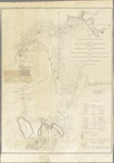
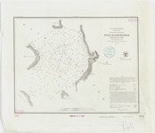
| Description: | Sea coast and interior harbors of Washington Territory from Gray's Harbor to Olympia : including Washington Sound |
| Date: | 1889 |
| Size: | 98 x 82 cm |
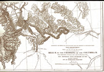
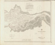
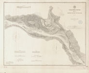
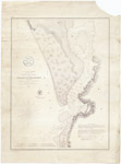
| Description: | Columbia River : sheet no. 1 |
| Date: | 1875 |
| Size: | 59 x 68 cm. |
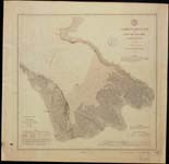
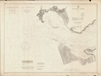
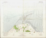
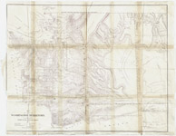
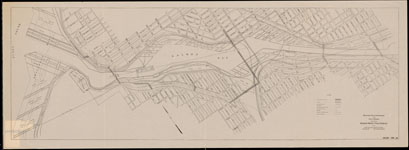
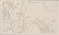
| Description: | Commencement Bay and city of Tacoma, Washington Ter. |
| Date: | [1888] |
| Size: | 48 x 50 cm. |
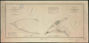
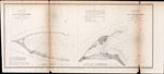
| Description: | Reconnaissance of False Dungeness Harbor, Washington; Reconnaissance of New Dungeness Harbor, Washington |
| Date: | [1890?] |
| Size: | each map 24 x 28 cm., sheet 31 x 64 cm. |
| Description: | Washington Territory, Western, Indian War Battlefields, 1855-56 |
| Date: | 1909 |
| Size: | 8"x10" |
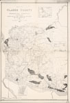
| Description: | Puget Sound Agricultural Company, Map of Claims |
| Date: | 1855 |
| Size: | 24"x24" |
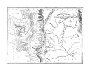
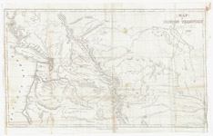
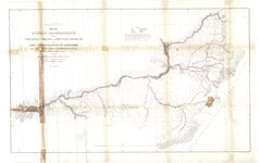
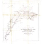
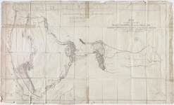
| Description: | Washington Territory, Survey by Isaac I. Stevens Expedition |
| Date: | 1853-55 |
| Size: | 24"x60" |

| Description: | Washington Territory, 1888 |
| Date: | 1888 |
| Size: | 24"x32" |

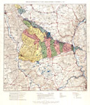
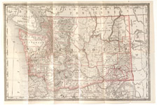
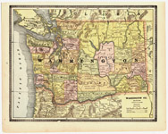
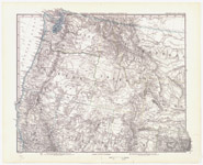
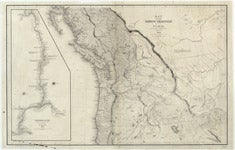
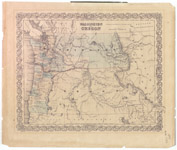
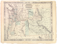
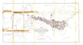
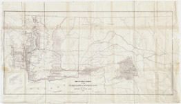
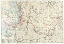
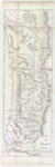
| Description: | Washington Territory West of the Cascade Mountains, 1857 |
| Date: | 1857 |
| Size: | 14"x21" |
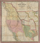
| Description: | New map of Texas, Oregon and California with the regions adjoining, compiled from the more recent authorities. |
| Date: | 1846 |
| Size: | 52 x 48 cm. |

| Description: | Indian Tribes of Washington Territory, 1876 |
| Date: | 1876 |
| Size: | 17"x22" |

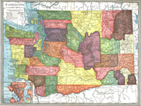
| Description: | Railroad Commission Map of Washington, 1908 |
| Date: | 1908 |
| Size: | 35"x48" |

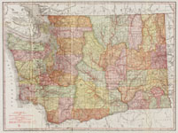
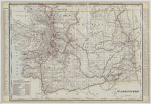
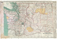
| Description: | Washington State, 1897 |
| Date: | 1897 |
| Size: | 28"x37" |

| Description: | Union Pacific Railroad, Pacific Division |
| Date: | 1890 |
| Size: | 25"x44" |

| Description: | Industrial Map of Washington |
| Date: | 1945 |
| Size: | 10"x14" |
| Description: | Washington at Statehood, 1889 |
| Date: | 1989 |
| Size: | 24"x36" |
| Description: | Railroad map of Washington, issued 1928 |
| Date: | c1928 |
| Size: | 85 x 122 cm |
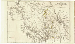
| Description: | Map of the Department of the Columbia |
| Date: | 1881 |
| Size: | 79 x 107 cm |
| Description: | Map of the trans-Mississippi territory of the United States, 1807-1843 : showing Father De Smet's travels, location of Indian tribes, trading posts, routes of travel and other features of interest. |
| Date: | c1901 |
| Size: | 45 x 45 cm. on sheet 57 x 53 cm. |
| Description: | American operations in the Aisne-Marne region : May 31-October 12, 1918 |
| Date: | 1937 |
| Size: | 56 x 76 cm., on sheet 70 x 81 cm |
| Description: | Meuse-Argonne offensive of the American First Army : September 26-November 11, 1918. |
| Date: | 1937 |
| Size: | 70 x 59 cm., on sheet 83 x 64 cm |
| Description: | American operations in the St. Mihiel region : September 12-November 11, 1918. |
| Date: | 1937 |
| Size: | 61 x 58 cm. on sheet 75 x 64 cm |
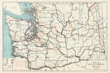
| Description: | Washington State Highway Map, 1915 |
| Date: | 1915 |
| Size: | 18"x26" |
| Description: | Washington State Highway Map, 1939 |
| Date: | 1939 |
| Size: | 18"x24" |

| Description: | Washington State Highway Map, 1950 |
| Date: | 1950 |
| Size: | 22"x34" |
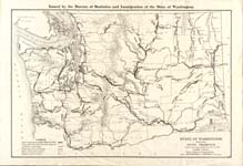
| Description: | Bureau of Statistics, Agriculture and Immigration Map, 1896 |
| Date: | 1896 |
| Size: | 18"x24" |
| Description: | Railroad Commission Map of Washington, 1910 |
| Date: | 1910 |
| Size: | 36"x48" |
| Description: | Washington Territory, Seattle, Lake Shore and Eastern Railroad, 1888 |
| Date: | 1888 |
| Size: | 20"x24" |
| Description: | Washington State Highway Map, 1912 |
| Date: | 1912 |
| Size: | 20"x26" |
| Description: | Washington State Highway Map, 1931 |
| Date: | 1931 |
| Size: | 18"x26" |
| Description: | Washington State, 1904 |
| Date: | 1904 |
| Size: | 8"x10" |
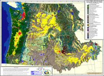
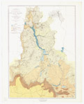
| Description: | Columbia River Basin historic wildlife-habitat types: (U.S. portion with all of OR and WA) |
| Date: | 1999 |
| Size: | 61 x 85 cm |
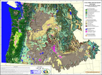
| Description: | Columbia River Basin wildlife-habitat types: (U.S. portion with all of OR and WA) |
| Date: | 1999 |
| Size: | 61 x 85 cm |
| Description: | Washington State Highways, 1909 |
| Date: | 1909 |
| Size: | 18"x24" |
| Description: | Proposed Bridges for Puget Sound, 1950 |
| Date: | 1950 |
| Size: | 24" x 36" |
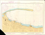
| Description: | Bellingham Bay, Washington |
| Date: | 1916 |
| Size: | 76 x 63 cm. on 86 x 73 cm. sheet |
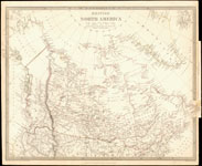
| Description: | British North America |
| Date: | [1834] |
| Size: | 32 x 40 cm. on 34 x 41 cm. sheet |
| Description: | Columbia River : [Columbia River Light Vessel No. 50 to Astoria/Tongue Point] : sheet no. 1 |
| Date: | 1892 |
| Size: | 61 x 82 cm. on 69 x 91 cm. sheet |
| Description: | Columbia River : [Astoria/Tongue Point to Tenasillihee Island] : sheet no. 2 |
| Date: | 1890 |
| Size: | 59 x 69 cm. on 67 x 82 cm. sheet |
| Description: | Columbia River : [Tenasillihee Island to Grim's Island] : sheet no. 3 |
| Date: | 1878 |
| Size: | 55 x 72 cm. |
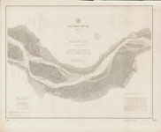
| Description: | Columbia River : Grim's Island to Kalama : sheet no. 4 |
| Date: | 1888 |
| Size: | 55 x 73 cm. on 67 x 82 cm. sheet |
| Description: | Columbia River : Kalama to Fales Landing : sheet no. 5 |
| Date: | 1888 |
| Size: | 72 x 54 cm. on 82 x 65 cm. sheet |
| Description: | Columbia River : Fales Landing to Portland : sheet no. 6 |
| Date: | 1888 |
| Size: | 73 x 54 cm. on 82 x 67 cm. sheet |
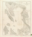
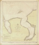
| Description: | Georgia Strait and Strait of Juan de Fuca, Washington |
| Date: | [1906] |
| Size: | 68 x 97 cm. on 76 x 106 cm. sheet |
| Description: | Olympia Harbor, Puget Sound, Washington |
| Date: | 1876 |
| Size: | 92 x 51 cm. on 101 x 58 cm. sheet |
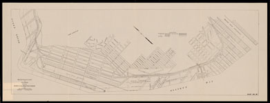
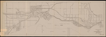
| Description: | Puget Sound : Seattle to Olympia, Washington |
| Date: | 1911 |
| Size: | 81 x 102 cm. on 92 x 111 cm. sheet |
| Description: | United States--west coast, Washington Sound |
| Date: | [1912] |
| Size: | 82 x 103 cm. on 92 x 109 cm. sheet |
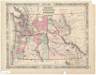
| Description: | Map of the Western portion of Washington Territory |
| Date: | 1857 |
| Size: | 18 x 24 cm. on 25 x 28 cm. sheet folded to 16 x 11 |
| Description: | United States--west coast, Washington, Discovery Bay and Sequim Bay, 1975 |
| Date: | [1975] |
| Size: | 55 x 48 cm. |
| Description: | United States--west coast, Washington, Discovery Bay and Sequim Bay, 1947 |
| Date: | [1947] |
| Size: | 55 x 49 cm. |
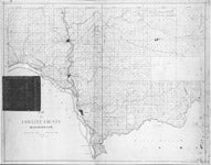
| Description: | Clallam County, Washington |
| Date: | [186-?] |
| Size: | 46 x 95 cm. |
| Description: | Reconnaissance of False Dungeness Harbor, Washington, 1853 ; Reconnaissance of New Dungeness Harbor, Washington, 1856 |
| Date: | [186-?] |
| Size: | Each map 24 x 28 cm., sheet 28 x 63 cm. |
| Description: | Dungeness quadrangle, Washington--Clallam Co. : 5.5 x 11.5 minute series (topographic), north portion of Dungeness 15' quadrangle |
| Date: | 1957 |
| Size: | 43 x 59 cm. |
| Description: | Plan and profile of Dungeness River, Washington |
| Date: | 1947 |
| Size: | 2 maps on 1 sheet; sheet 56 x 71 cm. |
| Description: | Firemans map |
| Date: | [1936] |
| Size: | 56 x 46 cm. |
| Description: | United States--west coast, Washington, Port Angeles |
| Date: | [1984?] |
| Size: | 48 x 68 cm. |
| Description: | Town of Sequim, Washington |
| Date: | Between 1927 and 1937 |
| Size: | 71 x 62 cm. |
| Description: | West Jefferson County |
| Date: | [1898] |
| Size: | 64 x 69 cm. |
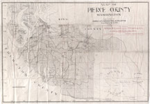
| Description: | Map of Pierce County, Washington, [1897] |
| Date: | [1897] |
| Size: | 1 map ; on 61 x 88 cm. sheet |
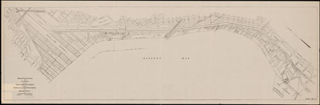
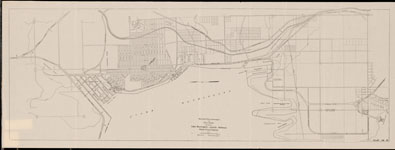
| Description: | Admiralty Inlet and Puget Sound to Seattle, Washington |
| Date: | 1905 |
| Size: | 82 x 99 cm. on 91 x 112 cm. sheet |
| Description: | Gray's Harbor, Washington Ter. |
| Date: | [1889] |
| Size: | 54 x 83 cm. on 63 x 94 cm. sheet |
| Description: | Map of the country from Lake Superior to the Pacific Ocean |
| Date: | c1867 |
| Size: | 55 x 112 cm. on 58 x 118 cm. sheet |
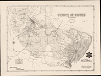
| Description: | Whitman County, 1913 |
| Date: | 1913 |
| Size: | 151 x 147 cm. on 152 x 150 cm. sheet |
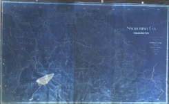
| Description: | Snohomish Co., Washington : compiled from actual surveys and U.S. Gov't data |
| Date: | 1912 |
| Size: | 134 x 222 cm. on 139 x 227 cm. sheet |
| Description: | Industrial map, State of Washington |
| Date: | [1937, distributed 1938?] |
| Size: | 94 x 178 cm. on 97 x 181 cm. sheet |
| Description: | Highway map, State of Washington, [1933] |
| Date: | [1933] |
| Size: | 88 x 137 cm. on 105 x 139 cm. sheet |
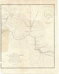
| Description: | Plan of the Battle of the Four Lakes, Sept. 1st, 1858, and the Battle of the Spokane Plains, Sept. 5th, 1858 ... |
| Date: | [1859] |
| Size: | 41 x 31 cm. on 46 x 32 cm. sheet |
| Description: | Plan of Col. Steptoe's, Battlefield on the Ingossomen Creek, May 15th, 16th, & 17th, 1858 |
| Date: | [1859] |
| Size: | 29 x 25 cm. on 34 x 27 cm. sheet |
| Description: | Business atlas map of Washington |
| Date: | [1888?] |
| Size: | 1 sheet ; 35 x 52 cm. folded to 18 x 9 cm. |
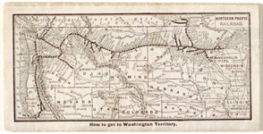
| Description: | How to get to Washington Territory, [1888?] |
| Date: | [1888?] |
| Size: | 9 x 18 cm. |
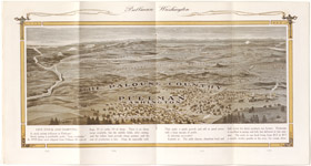
| Description: | Palouse country, Pullman, Washington |
| Date: | [1911?] |
| Size: | 22 x 21 cm. |
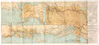
| Description: | Route of the Alaska excursion steamers |
| Date: | 1891 |
| Size: | 1 sheet 36 x 80 cm. folded to 18 cm. |
| Description: | Map showing land grant of the Northern Pacific Railroad Co. in western Washington and northern Oregon : corrected up to Sept. 1, 1892 |
| Date: | [1892] |
| Size: | 81 x 88 cm., folded to 23 x 11 cm. |
| Description: | Map of Washington, Oregon and part of Idaho, [1892?] |
| Date: | [1892?] |
| Size: | 30 x 22 cm., folded to 23 x 11 cm. |
| Description: | Map of the Chicago & North-Western Railway : showing direct connections and routes to the Klondike and Alaska gold fields |
| Date: | c1898 |
| Size: | 43 x 61 cm., folded to 23 x 11 cm. |
| Description: | Great Northern Railway routes in Washington State |
| Date: | [192-?] |
| Size: | 20 x 27 cm. |
| Description: | Great Northern Railway and connections |
| Date: | [192-?] |
| Size: | 18 x 26 cm. |
| Description: | Western portion of British North America : showing the route followed by Lord Milton & Dr. Cheadle from the Saskatchewan to British Columbia, 1863-4 |
| Date: | [1865?] |
| Size: | 19 x 32 cm., folded to 12 x 19 cm. |
| Description: | Ellensburg folio, Washington. Topographic sheet, Washington, Ellensburg quadrangle |
| Date: | c1903 |
| Size: | 55 x 47 cm. |
| Description: | Ellensburg folio, Washington. Areal geology sheet, Washington, Ellensburg quadrangle |
| Date: | c1903 |
| Size: | 55 x 47 cm. |
| Description: | Ellensburg folio, Washington. Structure-section sheet, Washington, Ellensburg quadrangle |
| Date: | c1903 |
| Size: | 55 x 47 cm. |
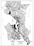
| Description: | Real property survey, Seattle, Washington, 1939-40, Volume 2. Identification map [no. 1] |
| Date: | c1940 |
| Size: | 56 cm. |
| Description: | Real property survey, Seattle, Washington, 1939-40, Volume 2. Identification map [no. 2] |
| Date: | c1940 |
| Size: | 56 cm. |
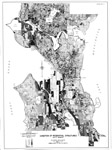
| Description: | Real property survey, Seattle, Washington, 1939-40, Volume 2. Converted structures |
| Date: | c1940 |
| Size: | 56 cm. |
| Description: | Real property survey, Seattle, Washington, 1939-40, Volume 2. Age of structure |
| Date: | c1940 |
| Size: | 56 cm. |
| Description: | Real property survey, Seattle, Washington, 1939-40, Volume 2. Mortgage status |
| Date: | c1940 |
| Size: | 56 cm. |
| Description: | Real property survey, Seattle, Washington, 1939-40, Volume 2. Owner-occupancy |
| Date: | c1940 |
| Size: | 56 cm. |
| Description: | Real property survey, Seattle, Washington, 1939-40, Volume 2. Average rental |
| Date: | c1940 |
| Size: | 56 cm. |
| Description: | Real property survey, Seattle, Washington, 1939-40, Volume 2. Sanitary facilities |
| Date: | c1940 |
| Size: | 56 cm. |
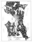
| Description: | Real property survey, Seattle, Washington, 1939-40, Volume 2. Condition of residential structures |
| Date: | c1940 |
| Size: | 56 cm. |
| Description: | Real property survey, Seattle, Washington, 1939-40, Volume 2. Duration of owner-occupancy |
| Date: | c1940 |
| Size: | 56 cm. |
| Description: | Real property survey, Seattle, Washington, 1939-40, Volume 2. Duration of tenant occupancy |
| Date: | c1940 |
| Size: | 56 cm. |
| Description: | Real property survey, Seattle, Washington, 1939-40, Volume 2. Race of household |
| Date: | c1940 |
| Size: | 56 cm. |
| Description: | Real property survey, Seattle, Washington, 1939-40, Volume 2. Person per room |
| Date: | c1940 |
| Size: | 56 cm. |
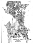
| Description: | Real property survey, Seattle, Washington, 1939-40, Volume 2. Sub-standard dwelling units |
| Date: | c1940 |
| Size: | 56 cm. |
| Description: | Oregon Territory (1833) |
| Date: | [1833] |
| Size: | 25 x 31 cm. |
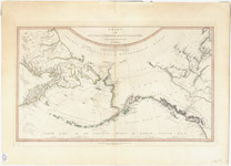
| Description: | Chart of the N.W. coast of America and the N.E. coast of Asia, explored in the years 1778 and 1779 [3rd ed.] |
| Date: | [1808] |
| Size: | 39 x 67 cm. |
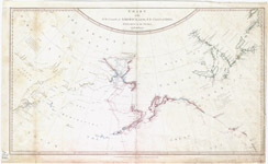
| Description: | Chart of the N.W. coast of America and the N.E. coast of Asia, explored in the years 1778 and 1779 |
| Date: | 1784 |
| Size: | 39 x 67 cm. |
| Description: | Topography : Washington--Idaho, Pullman quadrangle |
| Date: | [1910] |
| Size: | 45 x 31 cm. |
| Description: | Topography : Washington--Idaho, Pullman quadrangle. Description of the topographic map |
| Date: | [1910] |
| Size: | 45 x 31 cm |
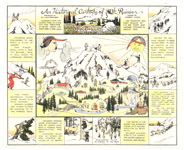
| Description: | Historical cartoon of Mt. Rainier |
| Date: | [193-?] |
| Size: | 29 x 36 cm. |
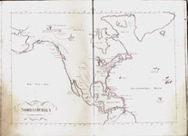
| Description: | Handatlas uber alle bekannte Laender des Erdbodens. Nordamerika |
| Date: | 1809 |
| Size: | 45 x 90 cm. |
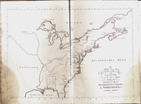
| Description: | Handatlas uber alle bekannte Laender des Erdbodens. Vereinigten Staaten in Nordamerika |
| Date: | 1809 |
| Size: | 45 x 90 cm. |
| Description: | Oregon [1884?] |
| Date: | [1884?] |
| Size: | 28 x 35 cm. |
| Description: | Washington Ty. [1884?] |
| Date: | [1884?] |
| Size: | 28 x 35 cm. |
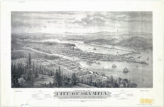
| Description: | Bird's eye view of the city of Olympia, East Olympia and Tumwater: Puget Sound, Washington Territory, 1879 |
| Date: | [1879] c1878 |
| Size: | 38 x 70 cm. |
| Description: | Colton's United States shewing the military stations, forts, &c |
| Date: | 1861 |
| Size: | 37 x 44 cm. |
| Description: | New map of the state of California, the territories of Oregon & Utah, and the chief part of New Mexico |
| Date: | [1850?] |
| Size: | 36 x 29 cm. |
| Description: | No. 15 map of Oregon and Upper California |
| Date: | 1846 |
| Size: | 26 x 20 cm. |
| Description: | Vereinigte Staaten von Amerika in 6 Blättern. Bl. 1 |
| Date: | 1881 |
| Size: | 39 x 48 cm. |
| Description: | Denver and Rio Grande Railroad system |
| Date: | [1888] |
| Size: | 37 x 45 cm. |
| Description: | Map of Olympia Development Co.'s "west side" property offered for sale, Olympia, Wash. |
| Date: | [190-?] |
| Size: | 29 x 33 cm. |
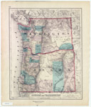
| Description: | Map of Oregon, Washington, and part of British Columbia |
| Date: | 1860 |
| Size: | 28 x 34 cm. on sheet 33 x 40 cm. |
| Description: | Olympia : capital of the State of Washington |
| Date: | [1893?] |
| Size: | 32 x 46 cm. |
| Description: | Map of the mountain section of the Ft. Walla Walla & Ft. Benton military wagon road from Coeur d'Alene Lake to the Dearborn River, Washington Territory |
| Date: | [1863?] |
| Size: | 53 x 127 cm. |
| Description: | British Columbia and Vancouver Island |
| Date: | [1865?] |
| Size: | 27 x 31 cm. |
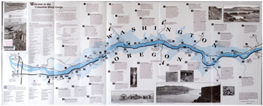
| Description: | Columbia River Gorge National Scenic Area |
| Date: | [1991] |
| Size: | 102 x 41 cm., folded to 21 x 10 cm. |
| Description: | Johnson's Washington and Oregon |
| Date: | [1862?] |
| Size: | 29 x 39 cm. |
| Description: | Map of Oregon Territory, 1838 |
| Date: | 1838 |
| Size: | 36 x 59 cm. |
| Description: | Preliminary agricultural map of Colville region, Washington Ter. |
| Date: | 1883 |
| Size: | 57 x 41 cm. on sheet 62 x 49 cm. |
| Description: | Map of the Oregon Territory |
| Date: | [19--?] |
| Size: | 57 x 70 cm. on sheet 63 x 92 cm. |
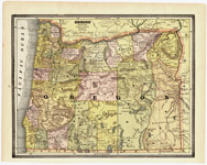
| Description: | Map of state of Washington, 1905 |
| Date: | 1905 |
| Size: | 46 x 64 cm. |
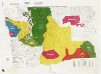
| Description: | Indian reservations, allotments and ceded areas in Washington |
| Date: | [1961] |
| Size: | 56 x 76 cm. |
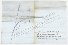
| Description: | Line of proposed spur across the Green property |
| Date: | [1895] |
| Size: | 28 x 43 cm |
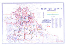
| Description: | Legislative districts and commissioner districts, Thurston County, Washington |
| Date: | 1989 |
| Size: | 49 x 72 cm |
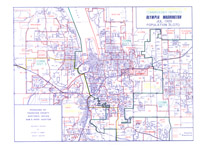
| Description: | Legislative districts and commissioner districts, Olympia, Washington |
| Date: | 1989 |
| Size: | 49 x 72 cm |
| Description: | Map of Washington showing location of mines, quarries, limekilns ... [1918] |
| Date: | [1918] |
| Size: | 41 x 61 cm |
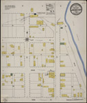
| Description: | Map of the City of Cheney (1916) |
| Date: | 1916 |
| Size: | 39 x 33 cm |
| Description: | Sketch K showing the progress of the survey in Section XI: from Tillamook Bay to the Boundary |
| Date: | 1859 |
| Size: | 63 x 45 cm |
| Description: | Washington and Oregon [1854?] |
| Date: | [1854?] |
| Size: | 28 x 36 cm |
| Description: | Part of British Columbia (1861) |
| Date: | 1861 |
| Size: | 21 x 30 cm |
| Description: | Oregon and Washington (1873) |
| Date: | 1873 |
| Size: | 44 x 37 cm |
| Description: | Reconnaissance of Olympia Harbor, Washington Ter. (1856) |
| Date: | 1856 |
| Size: | 31 x 26 cm |
| Description: | Map of Oregon, Washington, Idaho and part of Montana (1876) |
| Date: | 1876 |
| Size: | 23 x 30 cm |
| Description: | World (1829?) |
| Date: | 182-? |
| Size: | 12 x 16 cm |
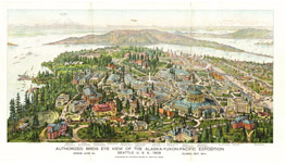
| Description: | Authorized birds eye view of the Alaska-Yukon-Pacific Exposition |
| Date: | [1909] |
| Size: | 21 x 41 cm. |
| Description: | Map of Oregon, Washington and part of Idaho [1860] |
| Date: | [1863], c1860 |
| Size: | 32 x 39 cm. |
| Description: | New map of the state of California, the territories of Oregon, Washington, Utah & New Mexico [1853] |
| Date: | 1853 |
| Size: | 37 x 29 cm. |
| Description: | Johnson’s Washington, Oregon and Idaho [1863] |
| Date: | [1863?] |
| Size: | 29 x 36 cm |
| Description: | Johnson’s Washington, Oregon and Idaho [1864] |
| Date: | [1864] |
| Size: | 35 x 45 cm |
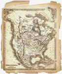
| Description: | North America [1836] |
| Date: | 1836 |
| Size: | 24 x 21 cm. |
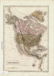
| Description: | North America [1837?] |
| Date: | [1837?] |
| Size: | 38 x 27 cm. |
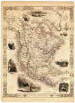
| Description: | North America [184-?] |
| Date: | [184-?] |
| Size: | 35 x 26 cm. |
| Description: | Map of military reconnaissance from Fort Dalles, Oregon via Fort Wallah-Wallah to Fort Taylor, Washington Territory [1858] |
| Date: | 1858 |
| Size: | 53 x 89 cm. |
| Description: | Map of military reconnaissance from Fort Taylor to the Coeur d'Alene Mission, Washington Territory [1862?] |
| Date: | [1862?] |
| Size: | 54 x 54 cm. |
| Description: | Map of military road from Fort Walla Walla on the Columbia to Fort Benton on the Missouri, 1863 |
| Date: | 1863 |
| Size: | 43 x 84 cm. |
| Description: | Copy of part of the Mapamundi drawn by Hieronimus de Verrazano about 1529 |
| Date: | [1873?] |
| Size: | 31 x 50 cm. |
| Description: | Map of Township 10N., Range 36E of the Willamette Meridian |
| Date: | [190-?] |
| Size: | 45 x 38 cm. |
| Description: | Map of Township 11N., Range 34E of the Willamette Meridian |
| Date: | [190-?] |
| Size: | 45 x 38 cm. |
| Description: | Map of Township 10N., Range 37E of the Willamette Meridian |
| Date: | [191-?] |
| Size: | 44 x 37 cm. |
| Description: | Washington (1900) |
| Date: | 1900 |
| Size: | 44 x 60 vm. |
| Description: | Map of Oregon and Washington Territory, 1882 |
| Date: | 1882 |
| Size: | 68 x 45 cm. |
| Description: | Salem Harbor, Massachusetts |
| Date: | 1855 |
| Size: | 54 x 73 cm. |
| Description: | Reconnaissance of Steilacoom Harbor, Washington Ter. [1889] |
| Date: | [1889] |
| Size: | 30 x 40 cm. |
| Description: | Preliminary survey of the entrance to the Umquah River, Oregon (1854) |
| Date: | 1854 |
| Size: | 43 x 32 cm. |
| Description: | Map of a part of Washington Territory to accompany report of Surveyor General (1860) |
| Date: | 1860 |
| Size: | 54 x 70 cm. |
| Description: | Map of public surveys in the territory of Washington (1862) |
| Date: | 1862 |
| Size: | 42 x 87 cm. |
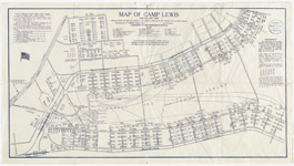
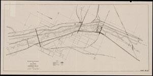
| Description: | Map of Camp Lewis : American Lake, Wash. [1917] |
| Date: | 1917 |
| Size: | 35 x 65 cm. |
| Description: | Map of the city of Everett, Washington |
| Date: | 1915 |
| Size: | 148 x 82 cm. |
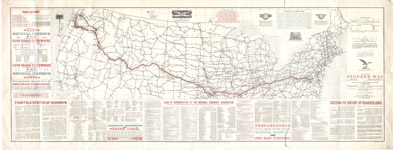
| Description: | Map of the Pioneer Way |
| Date: | 1916 |
| Size: | 28 x 92 cm. |
| Description: | Map of the city of Everett, Washington |
| Date: | 1915 |
| Size: | 148 x 82 cm. |
| Description: | Map of Washington Territory west of the Cascade Mountains (as of 1870) |
| Date: | 1951 |
| Size: | 120 x 86 cm. |
| Description: | Millroy & Egan's sectional map, Washington (1901) |
| Date: | 1901 |
| Size: | 81 x 119 cm. |
| Description: | Map of an exploring expedition to the Rocky Mountains in the year 1842... |
| Date: | 1845 |
| Size: | 30 x 50 cm. |
| Description: | Railroad Commissioner's map of Washington (1911) |
| Date: | 1911 |
| Size: | 80 x 116 cm. |
| Description: | Diagram of a portion of Oregon Territory (1852) |
| Date: | 1852 |
| Size: | 121 x 40 cm. |
| Description: | Map of public surveys in the Territory of Washington to accompany report of Surveyor General (1865) |
| Date: | 1865 |
| Size: | 59 x 78 cm. |
| Description: | Brewster: Okanogan Co. Wash., October 1909 |
| Date: | 1909 |
| Size: | 66 x 55 cm. |
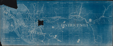
| Description: | Map of Cowlitz County Washington |
| Date: | 1895 |
| Size: | 60 x 44 cm. |
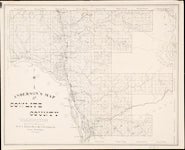
| Description: | Anderson's map of Cowlitz County, Washington |
| Date: | 1897 |
| Size: | 43 x 54 cm. |
| Description: | Road map of Douglas County, Washington : March 11, 1916 |
| Date: | 1916 |
| Size: | 42 x 44 cm. |
| Description: | Map of Ferry County election precincts |
| Date: | 1915 |
| Size: | 107 x 51 cm. |
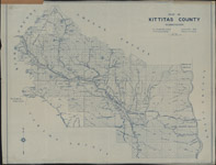
| Description: | Map of Kittitas County, Washington drawn by H.A. Murray |
| Date: | 1916 |
| Size: | 104 x 132 cm. |
| Description: | Map of Pend Oreille County Washington : compiled from official records |
| Date: | 1919 |
| Size: | 81 x 33 cm. |
| Description: | Map of Pacific Co., Washington |
| Date: | 1894 |
| Size: |
| Description: | Map of the Spokane country |
| Date: | 1915? |
| Size: | 44 x 39 cm. |
| Description: | Map of Lincoln County Washington |
| Date: | 1919 |
| Size: | 66 x 74 cm. |
| Description: | Map of Skagit County Wash. : showing names, numbers and widths of roads (1916) |
| Date: | 1916 |
| Size: | 64 x 166 cm. |
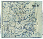
| Description: | Kroll's map of Mason Co. Washington |
| Date: | 1917 |
| Size: | 48 x 51 cm. |
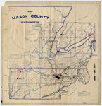
| Description: | Map of Mason County, Washington (193-?) |
| Date: | 193-? |
| Size: | 48 x 45 cm. |
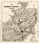
| Description: | Map of Mason County, Washington (1941) |
| Date: | 1941 |
| Size: | 49 x 47 cm. |
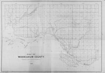
| Description: | Map of Wahkiakum County, Washington |
| Date: | 1898 |
| Size: | 46 x 60 cm. |
| Description: | Map showing land grant of the Northern Pacific Railroad Co. in eastern Washington and northern Idaho |
| Date: | 1891 |
| Size: | 97 x 86 cm. |
| Description: | Map showing land grant of the Northern Pacific Railroad Co. in eastern Washington and northern Idaho (1887) |
| Date: | 1887 |
| Size: | 69 x 85 cm. |
| Description: | Map of the middle states of America |
| Date: | 17--? |
| Size: | 30 x 45 cm. |
| Description: | Map of the middle states of America |
| Date: | 17--? |
| Size: | 30 x 45 cm. |
| Description: | City of Spokane (1906) |
| Date: | 1906 |
| Size: | 51 x 44 cm. |
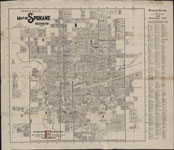
| Description: | R.L. Polk & Co's map of Spokane Washington, 1910 |
| Date: | 1910 |
| Size: | 70 x 71 cm. |
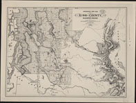
| Description: | Anderson's new map of King County, Washington Territory (1888) |
| Date: | 1888 |
| Size: | 41 x 54 cm. |
| Description: | County of Pierce, Washington (1890) |
| Date: | 1890 |
| Size: | 39 x 54 cm. |
| Description: | Map of Clarke County, Washington Territory : compiled from the county records, rail road surveys, and other authentic data (1888) |
| Date: | 1888 |
| Size: | 46 x 61 cm. |
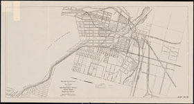
| Description: | 1908 map of Raymer's dictionary of greater Seattle (1908) |
| Date: | 1908 |
| Size: | 52 x 40 cm. |
| Description: | Map showing West Seattle waterfront district (1911) |
| Date: | 1911 |
| Size: |

| Description: | Map showing Harbor Island waterfront district (1911) |
| Date: | 1911 |
| Size: |
| Description: | Map showing Harbor Island and Duwamish Waterway districts (1911) |
| Date: | 1911 |
| Size: |
| Description: | Map showing a portion of Duwamish Valley (1911) |
| Date: | 1911 |
| Size: |
| Description: | Map showing central waterfront district a portion of Smith's Cove-West Point district and Railroad Avenue (1911) |
| Date: | 1911 |
| Size: |
| Description: | Map showing Smith's Cove-West Point district (1911) |
| Date: | 1911 |
| Size: |
| Description: | Map showing Ballard water front district (1911) |
| Date: | 1911 |
| Size: |
| Description: | Map showing Lake Union waterfront district (1911) |
| Date: | 1911 |
| Size: |
| Description: | Map showing Lake Washington-Union Bay waterfront district (1911) |
| Date: | 1911 |
| Size: |
| Description: | Map showing Lake Washington-Juanita-Bellevue water front district (1911) |
| Date: | 1911 |
| Size: |
| Description: | Map showing Lake Washington-Bellevue-Renton waterfront district (1911) |
| Date: | 1911 |
| Size: |
| Description: | Map showing Lake Washington-Renton-Rainier Beach waterfront district (1911) |
| Date: | 1911 |
| Size: |
| Description: | Map illustrating separation of grades on the Seattle tide lands (1911) |
| Date: | 1911 |
| Size: |
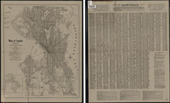
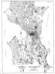
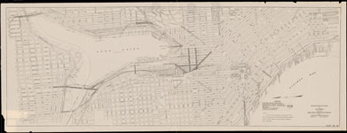
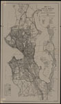
| Description: | Map of Seattle, 1911-12 |
| Date: | 1911 |
| Size: | 56 x 45 cm. |
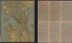
| Description: | Kroll's standard map of Seattle (1916?) |
| Date: | [1916?] |
| Size: | 32 x 26 cm. |
| Description: | Showing existing and proposed arterial highways, proposed tunnels for street traffic, proposed waterfront development, proposed ferry routes, proposed park boulevards (1911) |
| Date: | 1911 |
| Size: |
| Description: | Showing existing and proposed parks and park boulevards, proposed rapid transit routes (1911) |
| Date: | 1911 |
| Size: |
| Description: | Showing existing and proposed street railways, existing and proposed steam railways, proposed waterfront developments, proposed ferry routes (1911) |
| Date: | 1911 |
| Size: |
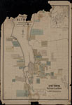
| Description: | Whitham & Page's map of Olympia and surroundings : Thurston Co., Washington, 1890 |
| Date: | 1890 |
| Size: | 88 x 61 cm. |
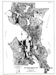
| Description: | Map of the City of Seattle and adjacent territory accompanying report of Municipal Plans Commission (1911) |
| Date: | 1911 |
| Size: |