
Historical Maps
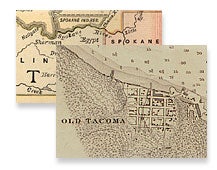
Maps add a visual element to history. The State Archives and the State Library hold extensive map collections dealing with the Washington State and the surrounding region. Maps for this digital collection will be drawn from state and territorial government records, historic books, federal documents and the Northwest collection.
You can view a list of titles, or use the drop down boxes to select a time period or type of map. New maps will be added as they are scanned.
View a List of Maps